Join us for a captivating conversation in the episode 7 of podcast series “Future Frontiers: The Synergistic Road Ahead for Urban Wellbeing.”
Episode 7 – Future Frontiers: The Synergistic Road Ahead for Urban Wellbeing
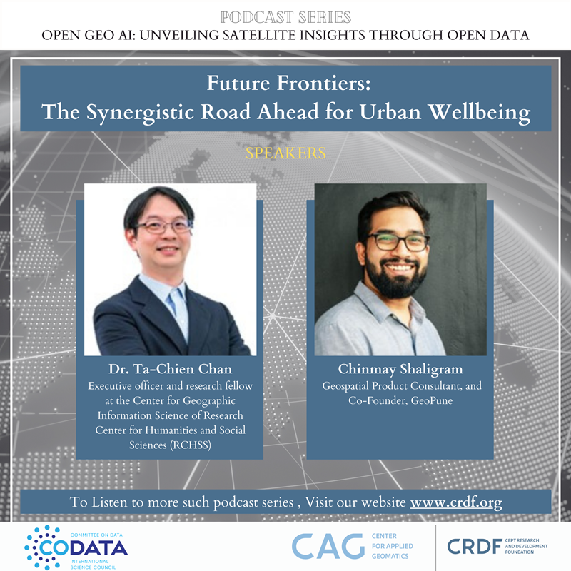
In this podcast on Future Frontiers: The Synergistic Road Ahead for Urban Wellbeing, Dr. Ta-Chien Chan and Mr. Chinmay Shaligram share their experiences on how the intersection of open-source geospatial data and AI presents an exciting opportunity to shape the future. It also talks about how spatial data and AI revolutionize fields like Public health , Mobility , Social Sciences and Infrastructure.
Dr. Ta-Chien Chan is an executive officer and research fellow at the Center for Geographic Information Science of Research Center for Humanities and Social Sciences (RCHSS) and currently serves as a deputy director of RCHSS in Academia Sinica since 2023. He graduated with a doctoral degree (Ph.D.) from the Institute of Epidemiology, National Taiwan University in 2010. He is an interdisciplinary scholar in both health and spatial science. He took advantage of these two specialties and devoted himself to interdisciplinary research, and also translated scientific findings to aid in first-line disease control and prevention. In the past five years, he focused on five major research topics including geo-data visualization, infectious disease surveillance, health impacts from air pollution, noise and green space, behavioral contagion through social networks, and spatial accessibility of health care.
Mr. Chinmay Shaligram is a Product Manager rooted in geospatial tech, he has used location data to drive growth and innovation throughout his career. He currently helps startups to build products using vector and raster data efficiently and to scale. Previously, he was part of the leadership team that built a custom map stack from scratch for mobility giants Ola, focusing on usability and scalability.
Beyond his professional role, he spearheads GeoPune, a thriving community of geospatial enthusiasts, fostering knowledge exchange in the Pune mapping community. He is a firm supporter of FOSS, and an active contributor to OpenStreetMap.
https://crdf.org.in/podcast/
Watch all episodes here: https://codata.org/initiatives/data-skills/codata-connect/open-geo-ai-unveiling-satellite-insights-through-open-data-podcast-series/